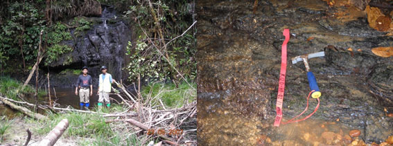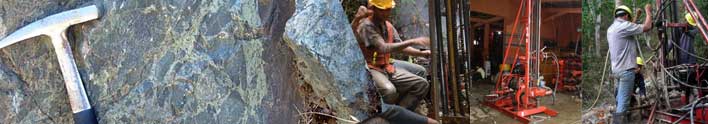
GEOLOGICAL MAPPING
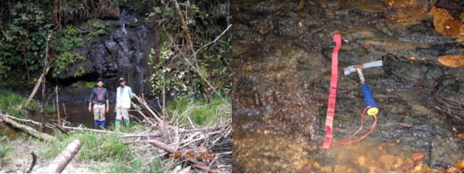
Surface geological mapping for recconaisance/initial prospecting, semi detail and detail geological mapping in coal prospecting. Result of services : coal outcrops inventory and coal seam corelation based on geological mapping activities, report other geological occurence i.e: statighraphy, geological stucture, geormorphology condition in coal prospect area. Report of the services will be used as basic consideration for the next exploration program i.e drilling plan
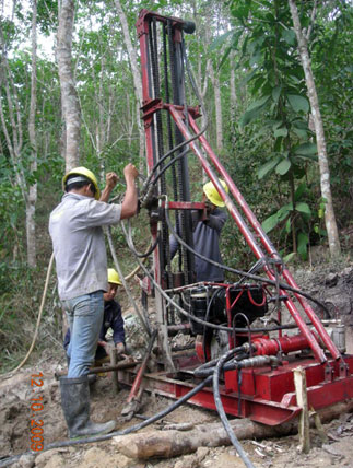
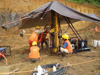
DRILLING SERVICES

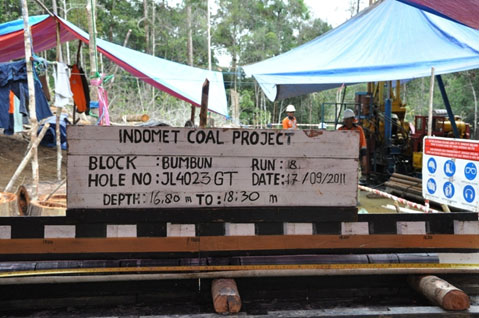
Scope of drilling services : open dan coring hole for exploration and geotechnic drilling. Depth vertical drilling range : 0-200 meter. Supported by drilling rig equipments or rig units which can be drilled to maximum depth of 100 m, 150 m and 200 m. Hole size available in NQ, NMLC,HQ & HMLC size
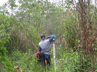
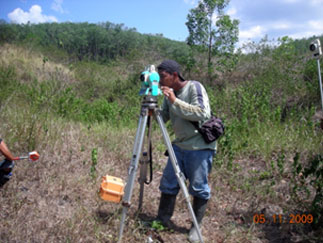
TOPOGRAPHIC MAPPING

Output : 3 D topografic map in scale 1:1.000, 1:2.000 or in other scale based on client request. The field data acquisation are generated by Total Station. Other service are Bench Mark/BM contruction and surveilance, drillholes stake out using Global Positioning System/GPS Geodetic. In coal prospecting, topographic map, drillholes stakeout will be used to geological modelling combine with geological data from geological mapping & drilling activity for resourse and reserve estimation.
Mine & Geological Consultant
Scope of services : involve & supervision in coal exploration program, on site supervision in coal exploration, geological modelling, resource & reserve estimation & mining design